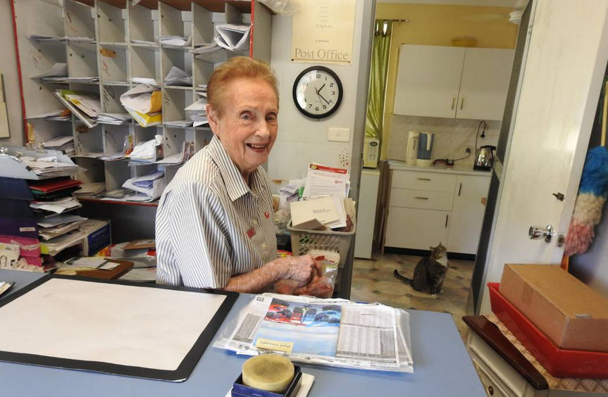
Image Credit: Letitia Fitzpatrick – Wauchope Gazette
Everyone around Long Flat knows Kath Carey, and that’s why she’s gone on working for so long. Kath has worked in the post office for 70 years, and has decided it’s time to retire.
“I have always liked the job and loved the contact with the people. But I won’t miss the early mornings,” says Kath, who gets up before 5am and runs the post office from 8am to 5pm, Monday to Friday.
Born in Taree, she came to Long Flat aged 12 with her parents, who took over the store, which included the post office. As a teenager, READ MORE…
Letitia Fitzpatrick – https://www.twitter.com/@letitiafitzpatr

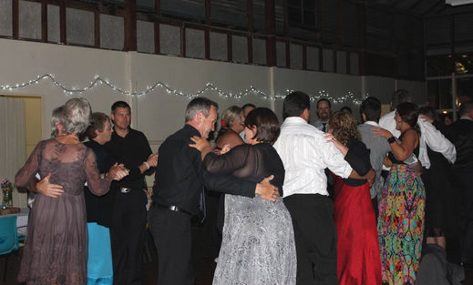

 JUNE Rollan is planning to have a cuppa at the Long Flat Hotel on May 19 and wouldn’t mind a hundred or more people joining her.